This website uses cookies to ensure you get the best experience
OK
The world changes?

ChangeDetection

The world changes?
ChangeDetection

Comparing images of the terrain taken at different times and searching for objects using artificial intelligence

Change detection and object classification is one of the main tasks in the field of terrain image analysis and a relevant task in many areas, such as cartography and land use, resource survey, urban development monitoring, finding consequences of natural disasters, assessing the environment state, ecological monitoring, etc.

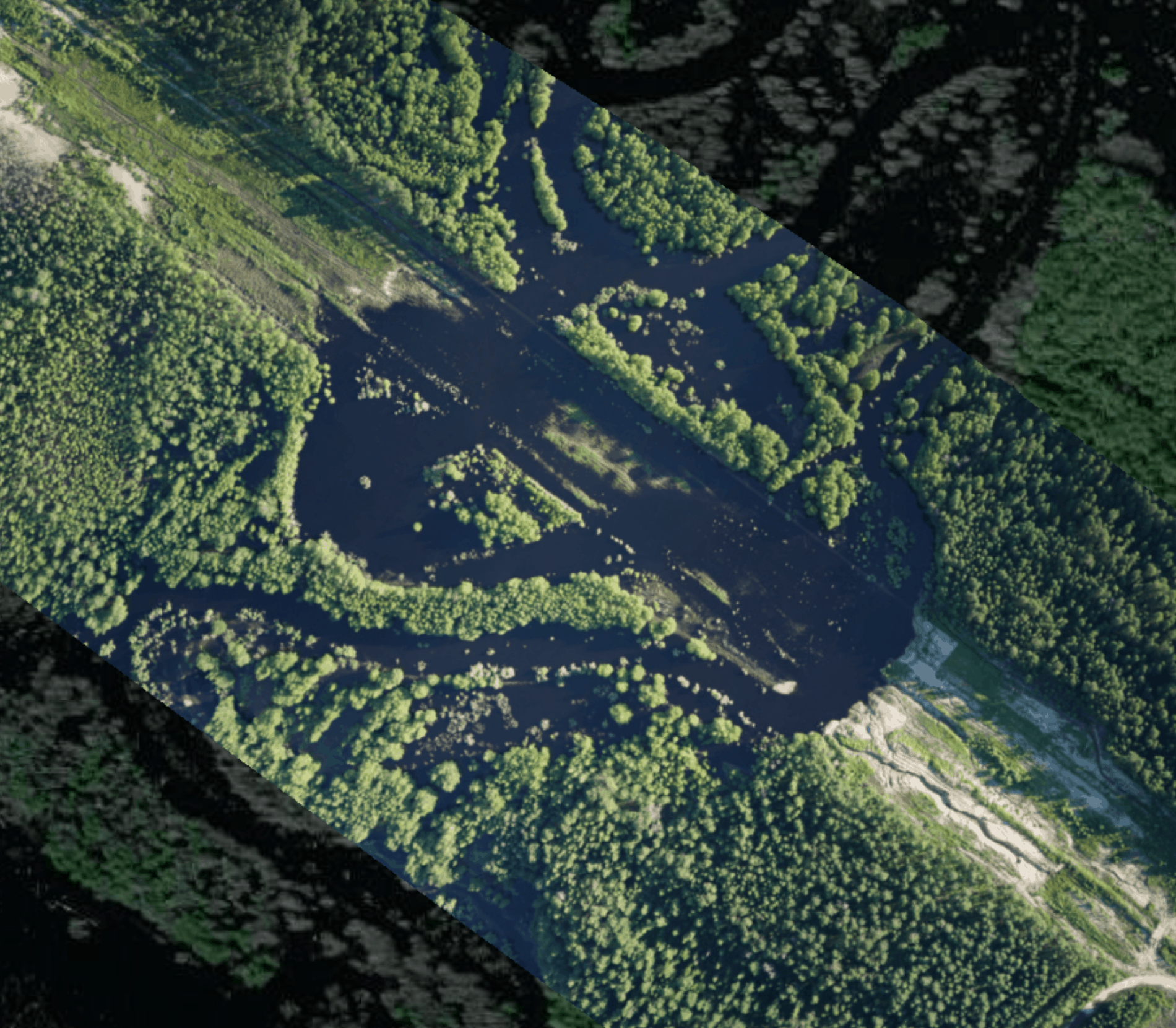
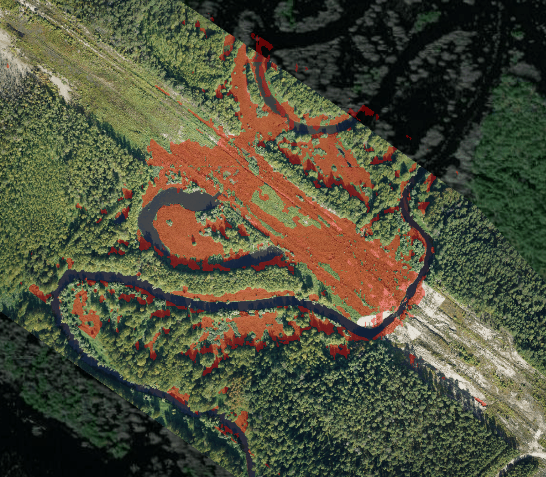
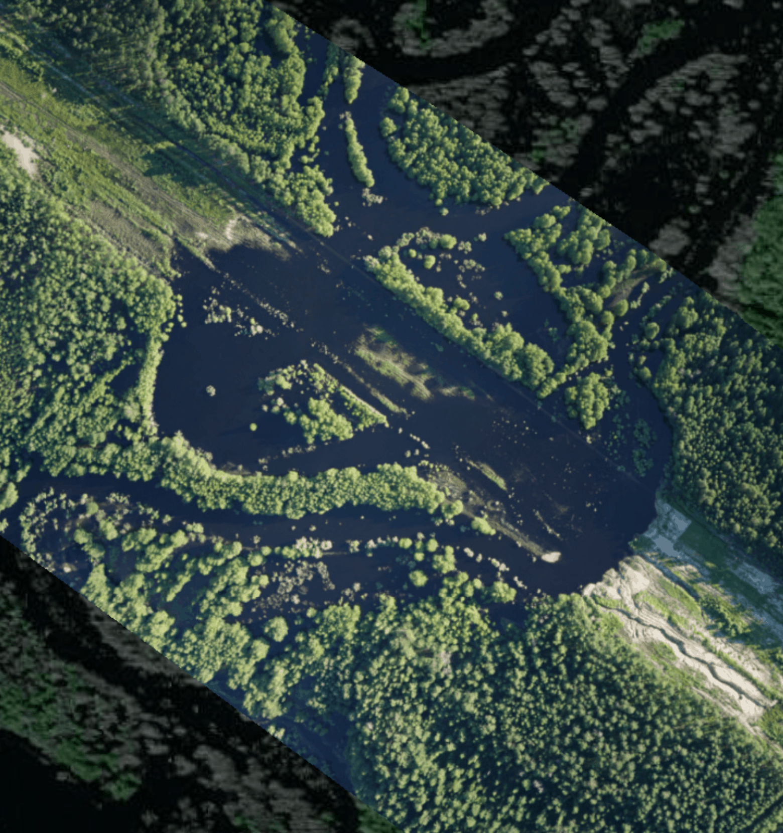
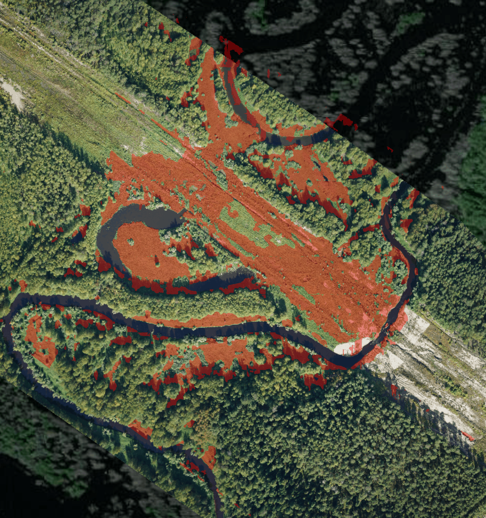
ChangeDetection analyzes and compares orthomozaics of the same area made at different times; finds, marks and classifies the changes that have occurred and objects that it has found, and gives you information about their properties. The application works autonomously, data processing does not require Internet or local network connection.

How does it solve the task?
1
Primary data collection
Aerial survey of the terrain using various tools to build a reference orthomosaic.
2
Reference orthomosaic creation
Creating orthomosaic of the area on the basis of the primary data using the required software.
3
Secondary data collection
Aerial survey of the same terrain using various tools to build the second orthomosaic.
4
Creation of an orthomosaic to compare
Creating orthomosaic of the area, on which you need to find changes, using the required software.
5
Orthomosaic alignment
Aligning images relative to each other with a high accuracy, using the ChangeDetection app.
6
Comparison of terrain images

Comparing two orthomosaics of the terrain and marking changes using AI.

7
Search and classification of objects
Recognizing, classifying and marking objects, using neural networks.
8
Image segmentation
Splitting orthomosaics onto segments to recognize elements and build a vector layer for the underlying surface.
9
Report creation
Automatically creating reports on the detected changes and found objects, their location and state.
How does it solve the task?
1
Primary data collection
Aerial survey of the terrain using various tools to build a reference orthomosaic.
2
Reference orthomosaic creation
Creating orthomosaic of the area on the basis of the primary data using the required software.
3
Secondary data collection
Aerial survey of the same terrain using various tools to build the second orthomosaic.
4
Creation of an orthomosaic to compare
Creating orthomosaic of the area, on which you need to find changes, using the required software.
5
Orthomosaic alignment
Aligning images relative to each other with a high accuracy, using the ChangeDetection app.
6
Comparison of terrain images

Comparing two orthomosaics of the terrain and marking changes using AI.

7
Search and classification of objects
Recognizing, classifying and marking objects, using neural networks.
8
Image segmentation
Splitting orthomosaics onto segments to recognize elements and build a vector layer for the underlying surface.
9
Report creation
Automatically creating reports on the detected changes and found objects, their location and state.
Where is it used?
Oil & gas sector
Monitoring infrastructure, searching for off-design pipeline bedding and oil spills
Cartography
Terrain mapping, land use monitoring, counting the area of ​​forests, meadows, etc.
Construction
Controlling movements of equipment, material expenditure rate, conducting a general monitoring of volumes and pace of construction
Ecology
Monitoring environment pollution, searching for unauthorized dumping grounds, illegal logging and forest fires
Agriculture
Controlling movements of equipment and people on agricultural lands, counting cattle, finding the land flooding
Safety
Identifying crowds of people, searching for fire outbreaks and flooding, as well as any activity of the third parties in the protected area
What are the advantages?
Data safety
You can use the application without using the Internet or mobile network connections. All files that you upload into the application stay on your computer and are processed offline without using cloud solutions.
Work 24/7
The application analyzes information by itself and decrypts data 24 hours a day, 7 days a week.
High data processing speed
It takes about 2 minutes to compare two images of 10 cm/pix spatial resolution, depicting 1000x1000 m area. On average, data analysis takes from 1 to 24 hours.
High recognition accuracy
Regardless of the image size, the application detects the smallest changes at the area under survey.
Data preparation simplicity
ChangeDetection does not require data with high georeference accuracy, which greatly simplifies the work on collecting and preparing materials.
No resource-intensive operations
The algorithms used do not perform complex operations on data transformation and 3D model construction, which significantly reduces hardware requirements and equipment costs.
User-friendly inerface
The modern and user-friendly interface allows starting work with the application without learning how to use it and reading long manuals.
Contact us
If you want to know more about GeoGraphics, send us your contact information and we will contact you
By clicking Send, I consent to the processing of my personal data.

Copyright © 2023 ChangeDetection. All rights reserved.